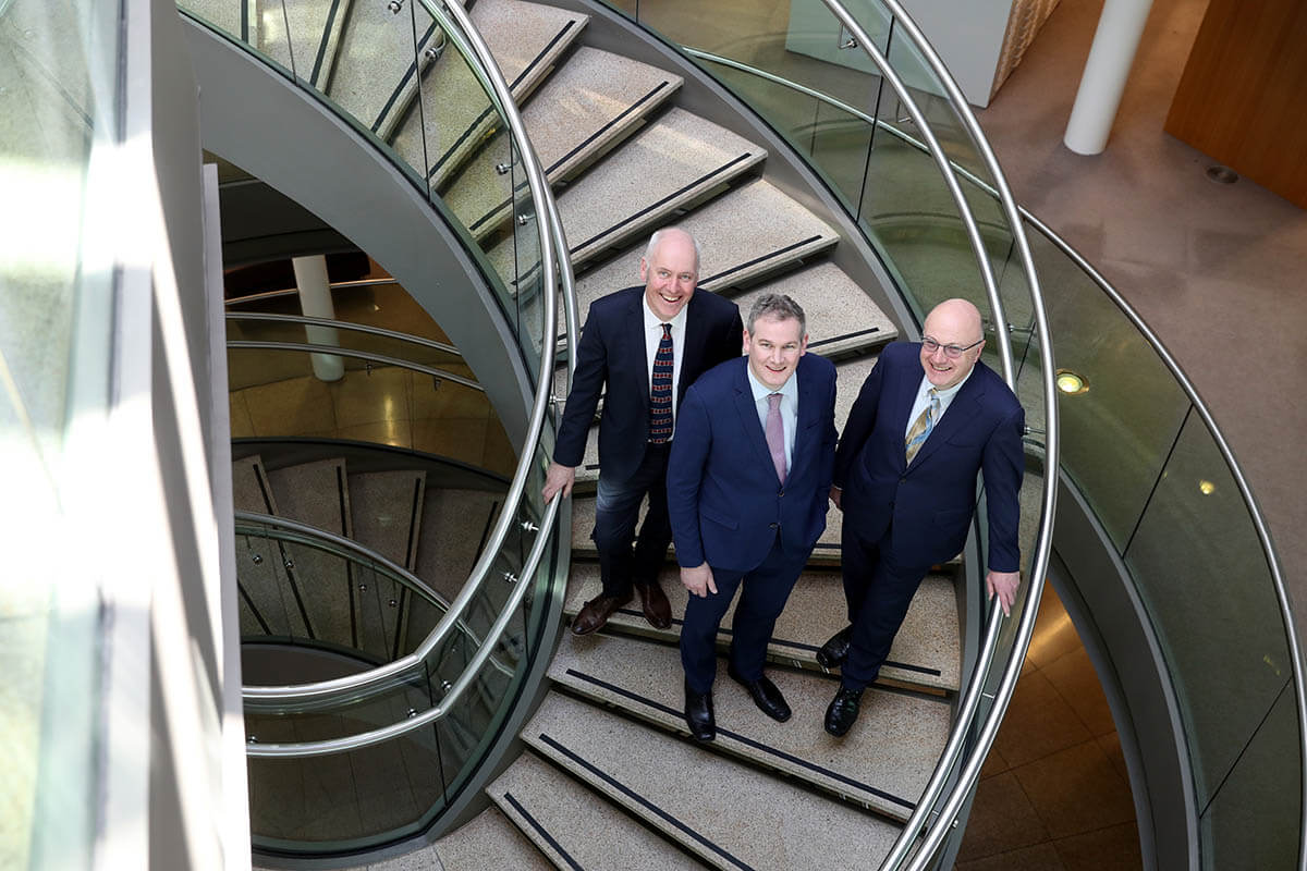
DIAS/iMarl Launch

Researchers from the Dublin Institute for Advanced Studies (DIAS) today launched new National Infrastructure that will provide direct long term observations of the interaction between the ocean and solid Earth. The equipment will facilitate the integration of solid earth and marine geoscience leading to a better understanding of how the land and the deep ocean interact with one another, far offshore. The facility is funded by SFI with support from the Geological Survey, Ireland.
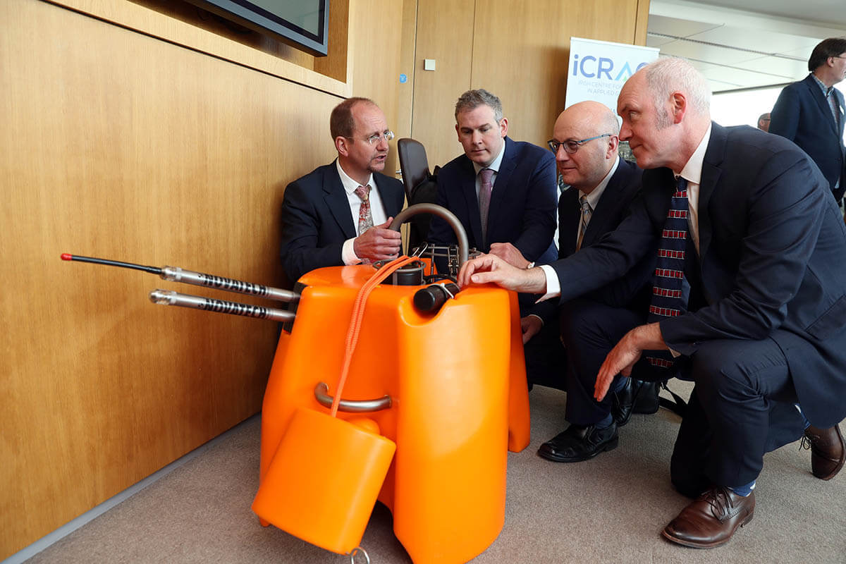
Ireland has an ocean territory ten times larger than its terrestrial landmass. Geological, oceanographic and biological processes interact on a daily basis in this vast territory but until now have been poorly understood due to (a) a lack of observational infrastructure and (b) need for more interaction between scientists across marine sciences and geosciences disciplines. Offshore sensors, that are continuously recording, are required to monitor the interactions of the solid Earth with ocean systems. Prof. Chris Bean and colleagues at DIAS, through 2.9m funding and support provided by Science Foundation Ireland (SFI) Infrastructure programme and Geological Survey Ireland (GSI), have designed and acquired the Insitu MArine Laboratory for geosystems Research (iMARL). This system comprises ocean floor vibration sensors, water temperature sensors and underwater sound recorders to be deployed on the sea floor, 100s of kilometres off the West coast of Ireland, in collaboration with the Marine Institute.
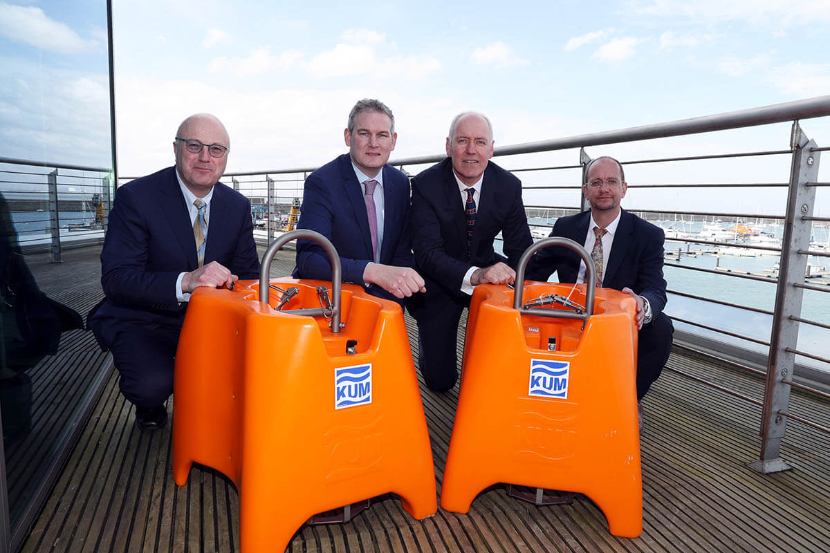
iMARL will detect offshore earthquakes, allow imaging of offshore sub-surface geology and help in the detection of both deep offshore currents (underwater rivers) and offshore sea bed disturbances associated with large Atlantic storms. The ocean floor system can also be used to passively track the presence of whales and dolphins. A pilot tsunami detection capability will also be installed as part of the iMARL sensing network.
The data collected will support natural resources quantification, natural hazard estimation, environmental and baseline climate related insitu ocean monitoring, quantify locations of possible unstable slopes (with implications for trans-Atlantic cable laying).
This new infrastructure provides us with unprecedented access to observe these Earth systems. Using this new network of sensors we can, for the first time, make long-term direct observations of the interactions between our oceans and solid Earth. Prof. Chris Bean, lead researcher on the project.